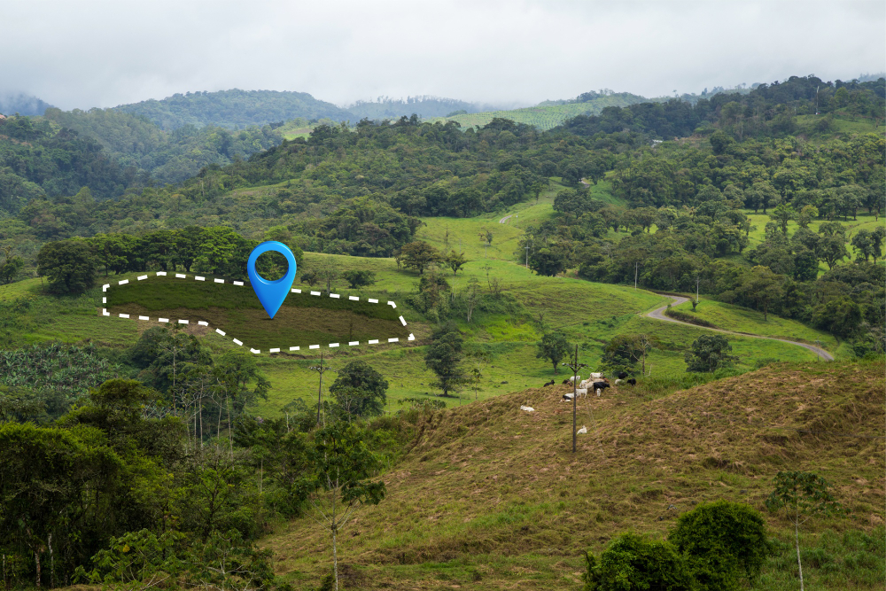
Plot Measurement

steptodown.com171332

Precision that Defines Your Property

Accurate plot measurement is the foundation of legal clarity, construction planning, and land utilization. At Malee House, we provide detailed plot surveys using advanced tools and standardized methods to ensure every inch of your land is measured and mapped with reliability.

Our Plot Survey Solutions

Tailored Survey Types for Every Need

We offer three types of plot survey services, designed to meet specific client requirements—whether you're a landowner, builder, architect, or farmer.

2149916734

Boundary Fixation

We precisely mark property boundaries using Total Stations and DGPS. This service is essential for ownership validation and legal documentation.
477

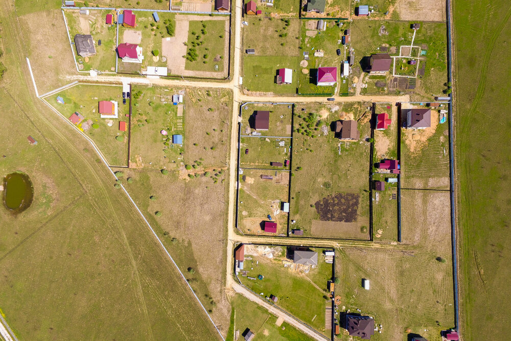
Boundary Fixation & Division

Ideal for partitioning land between stakeholders or for resale, this service includes both boundary marking and internal layout division.
2147831919

Detailed Survey for Architectural Planning

We survey existing site features, elevations, and surroundings—providing accurate site plans for architects, engineers, and construction professionals.
Technology We Use

Tools Behind the Accuracy

Our plot surveys are powered by modern instruments and digital mapping software.

28090

Total Stations & DGPS for pinpoint measurements

51660

AutoCAD for clean, professional layout drawings

2149392704

Drone support for large or hard-to-reach plots (on request)

104224

Cloud-based storage for easy data access and sharing

Why Choose Malee House?

Trusted by Farmers, Builders & Planners

  • 1000+ successful plot surveys completed
  • farmer friendly and architect-ready deliverables
  • legally traceable documentation with digital archives
  • fast turnaround with high accuracy
Applications of Plot Measurement

Turning Land Into Opportunity

Our plot measurement services are used for:

🏠

Residential and industrial plot development

🌾

Agricultural field measurement and drainage

🏗️

Construction planning and layout design

📋

Land sales, leasing, and legal boundary surveys