Canal Survey

canal-surveyor

Mapping Waterways with Precision

Canal surveys are crucial for irrigation, water distribution, and modernization projects. Malee House brings engineering accuracy and topographic insight to every canal survey

Our Canal Survey Services

Comprehensive Solutions for New and Existing Canals

From rural roads to national highways, our road surveys cater to every requirement across the planning and construction lifecycle.
22

New Canal Design Survey

Contour-based alignment planning with discharge capacity analysis. We design new canals tailored to regional terrain and irrigation needs.
19510

Canal Quantity Survey

Cross-section and L-section data collected at 20m intervals for accurate earthwork and structural planning.
3914

Canal Modernization Survey

Assessment of damaged main, distributary, and minor canals for redesign and flow improvement using GIS and ground surveys.
Technology We Use

Digital Tools for Efficient Irrigation Planning

28090

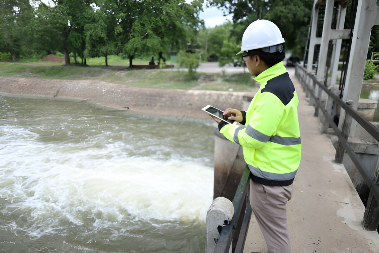
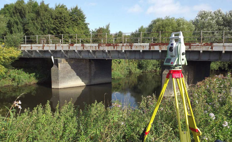
Total Stations for precision level checks

51660

Civil 3D and GIS for canal profiling and discharge modeling

2149392704

RTK-enabled drones for aerial topography

Why Choose Malee House?

Trusted by Irrigation Departments

  • Precise slope and discharge calculations
  • Modernization-ready surveys
  • Export-quality data and CAD profiles
  • Transparent and fast reporting
Use Cases

Supporting Agriculture and Water Management

💧

Irrigation planning

🚰

Canal rehabilitation

🌐

Smart village water grids

🌾

Command area development