

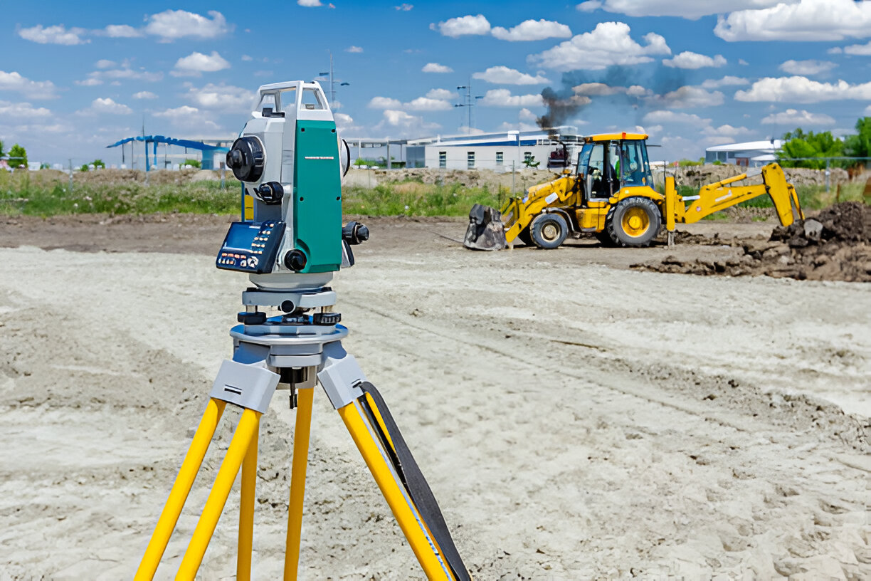
Total Stations for accurate on-ground measurements
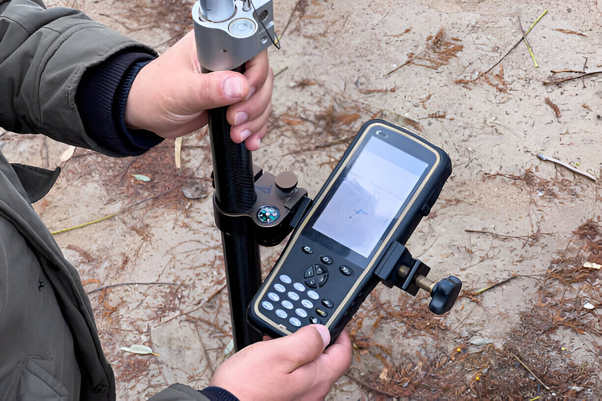
GNSS-enabled DGPS units for geo-referenced precision
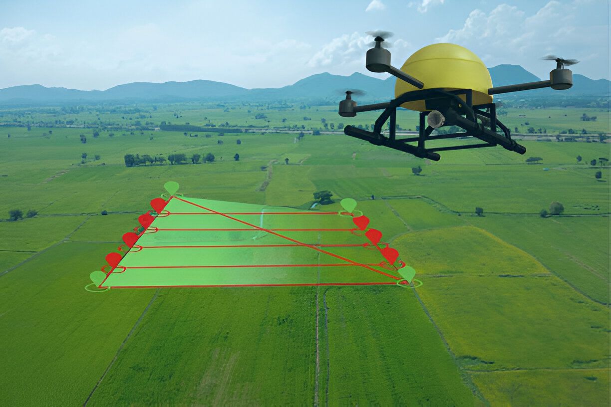
RTK Drones with automated flight controllers
Mobile + Aerial LiDAR for dense 3D terrain mapping

Echo Sounders for bathymetric surveys
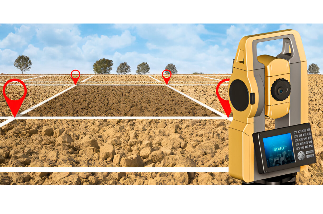
CORS system integration for live, corrected positioning
Survey
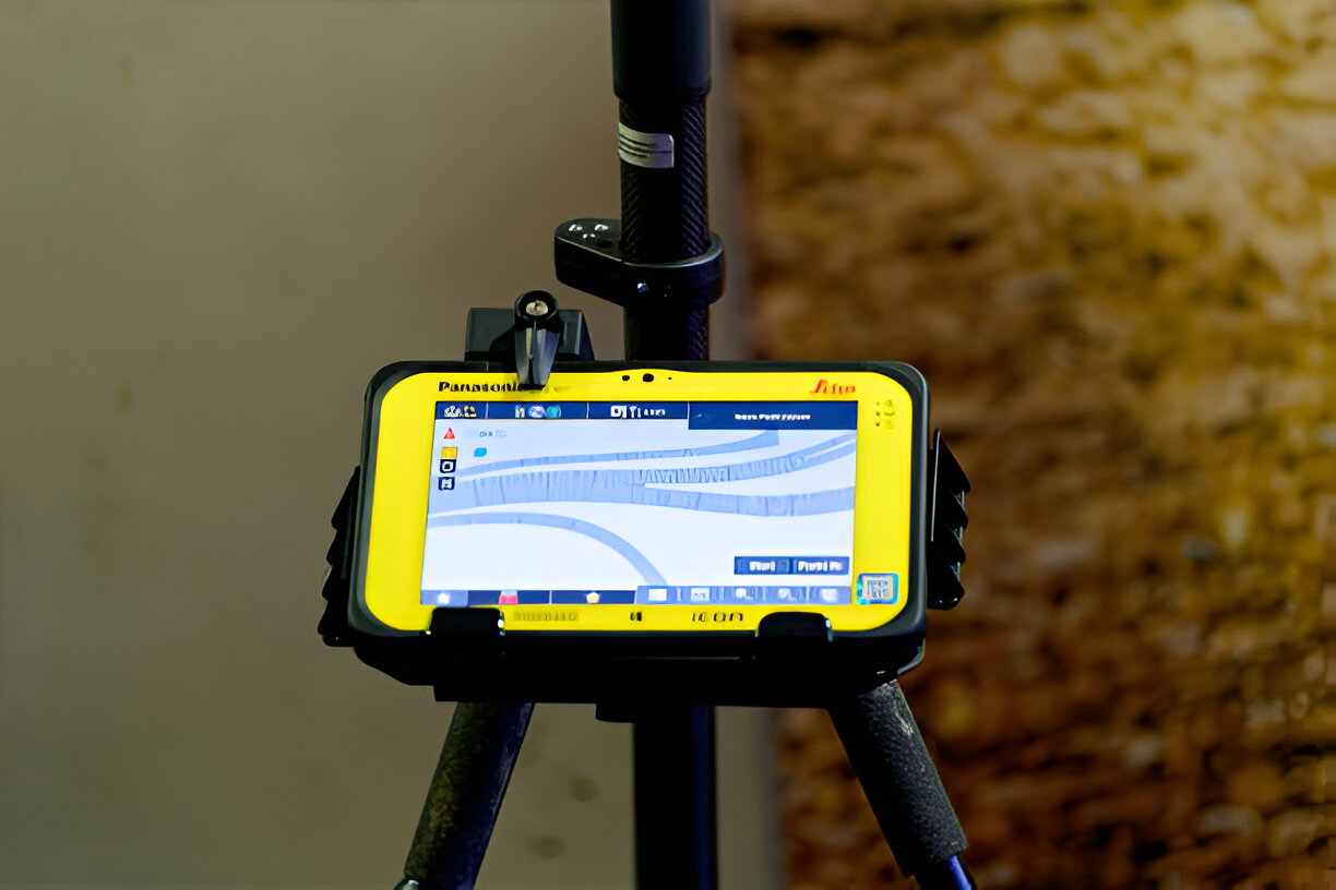
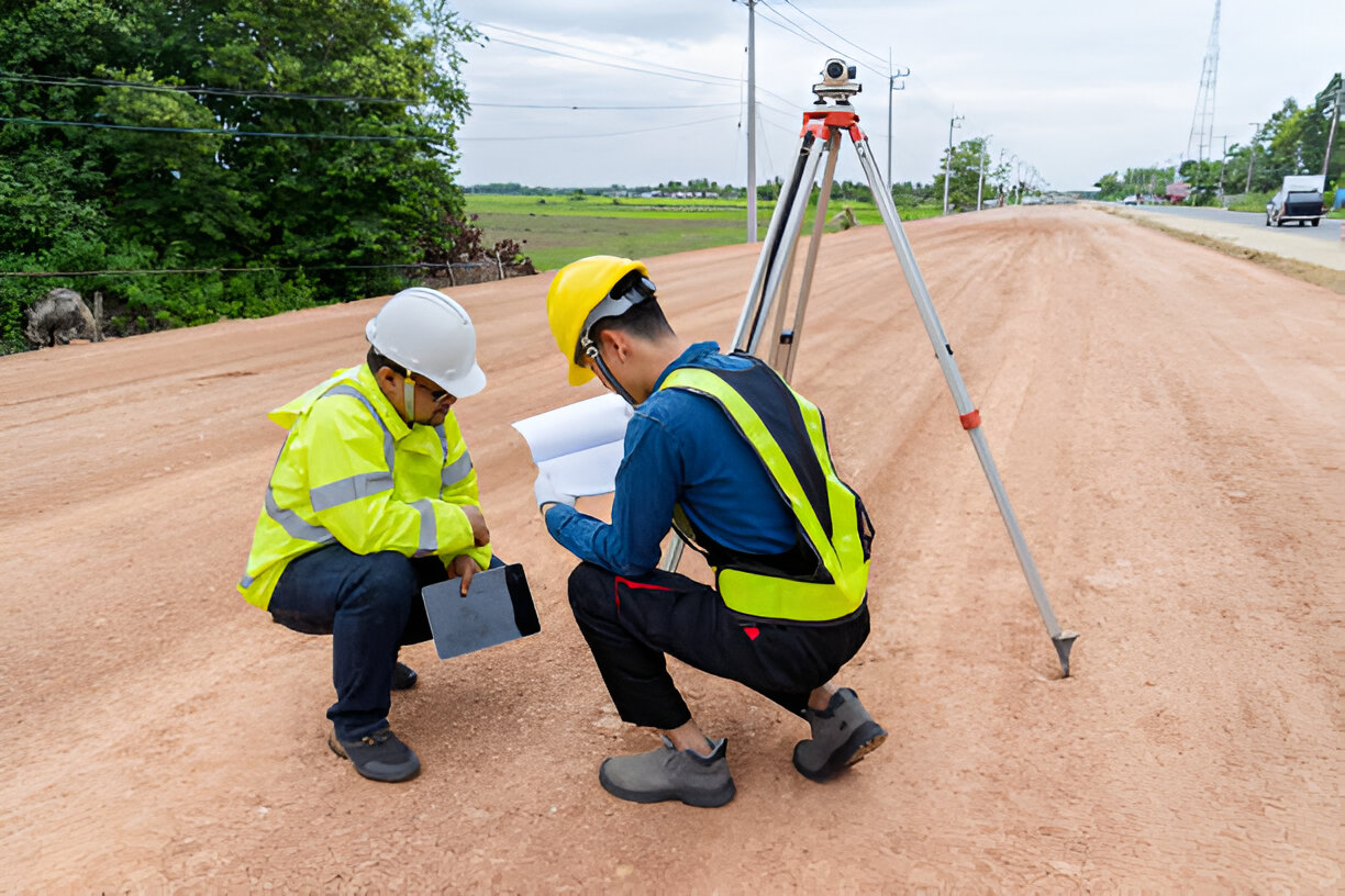
Field data capture, TBM/PBM control setup
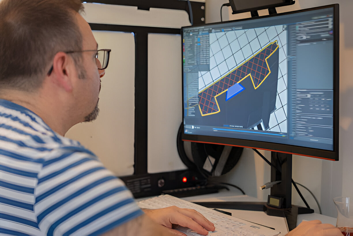
Design
CAD layouts, cross-sections, and planning

Accounts
Project estimation, BOQ, and billing

Quality Control
Validation, accuracy, and compliance

Submission:
Final maps, reports, and digital delivery