Bathymetric Survey

Hexagon_AP_MultibeamBathymetry-1680x885

Dive Deep into Underwater Data

Our bathymetric surveys use sonar and GPS systems to map underwater terrain for canals, rivers, tanks, and dams with high precision.

Survey Services

Surface to Subsurface Data Capture

images (2)

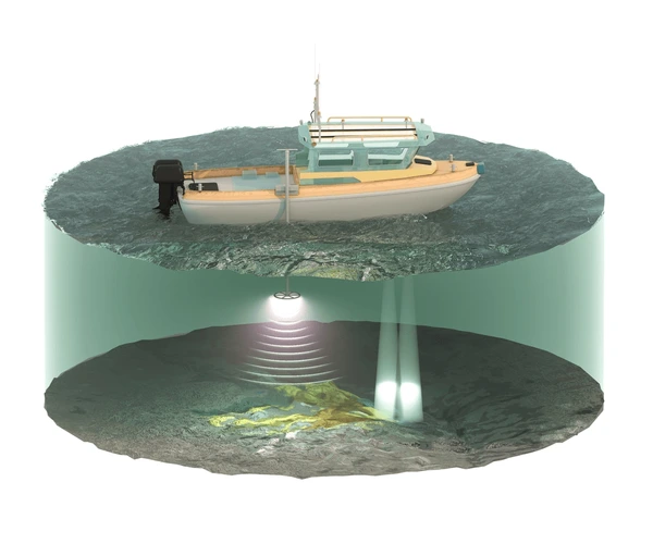
Depth profiles and siltation measurement

istockphoto-102770795-612x612

Echo sounder-based bathymetry

Water Treatment Plant process at sunset

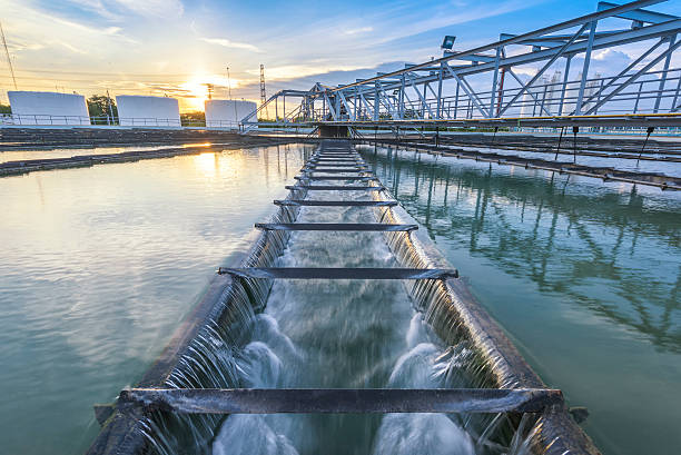
Water storage analysis

2147831919

Dredging assessment

Tech in Use

Tools for the Water Beneath

28090

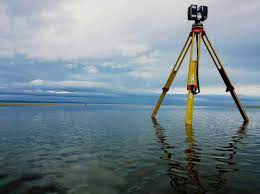
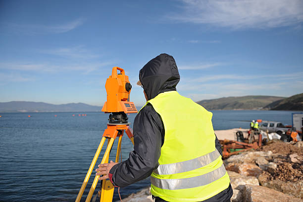
Echo sounders with GNSS support

51660

CAD output for
volume

2149392704

GIS bathymetric
modeling

Water Treatment Plant process at sunset

Cross-section and storage calculation

Why It Matters

Data That Prevents Disaster

  • Ensure safe storage levels
  • Plan dredging and capacity boost
  • Evaluate tank health and design needs