Digital terrain models (DTM/DEM)
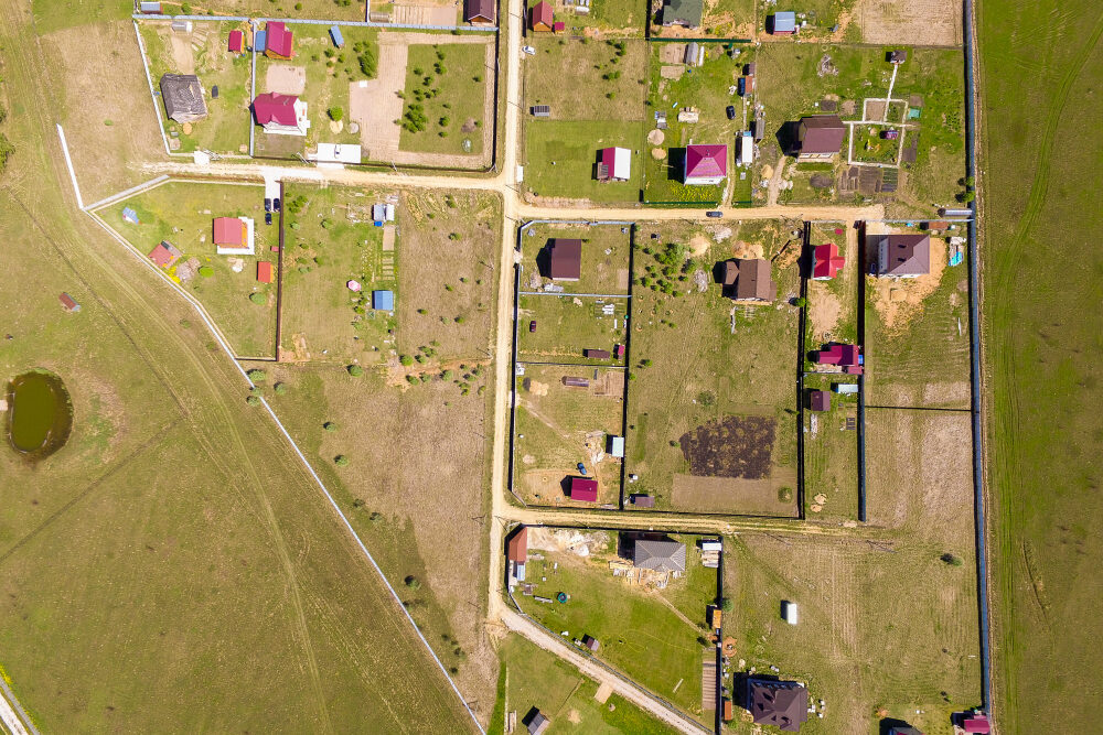
High-resolution orthophotos
Forest and canopy penetration

Urban and rural development planning
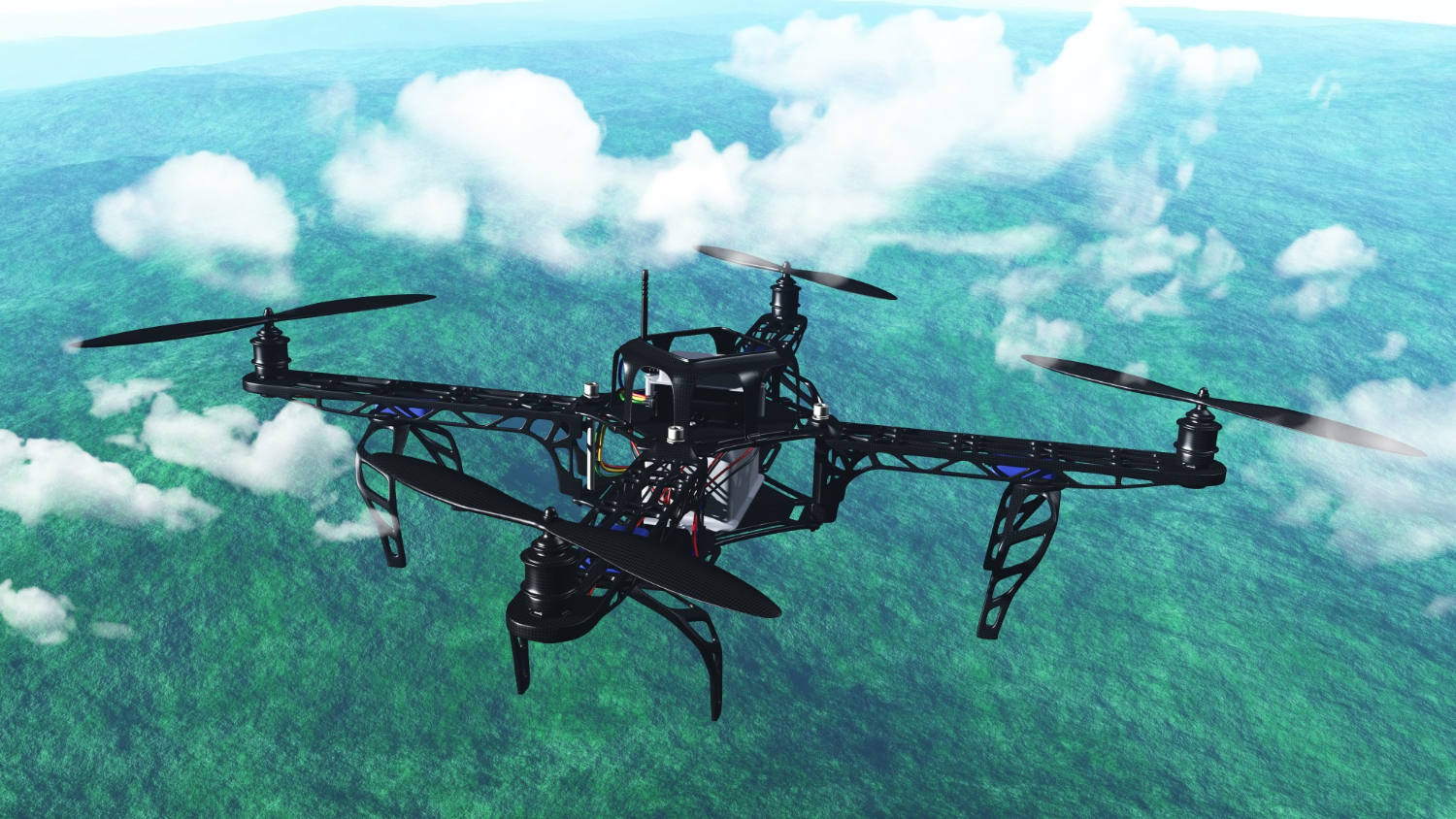
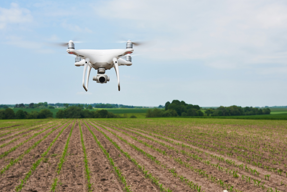
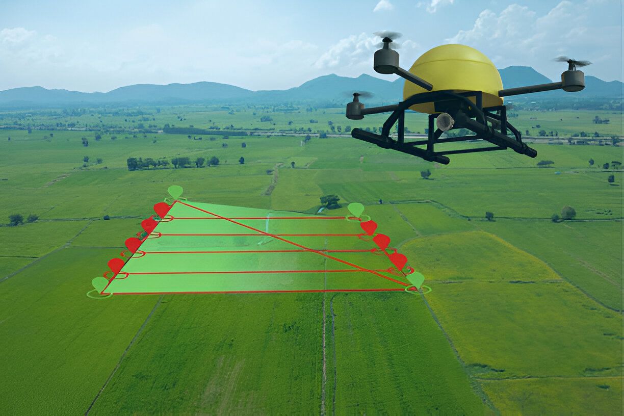
Aerial and mobile
LiDAR
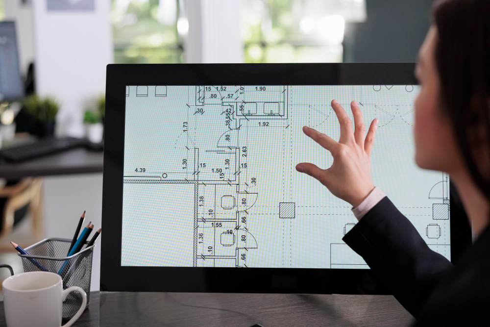
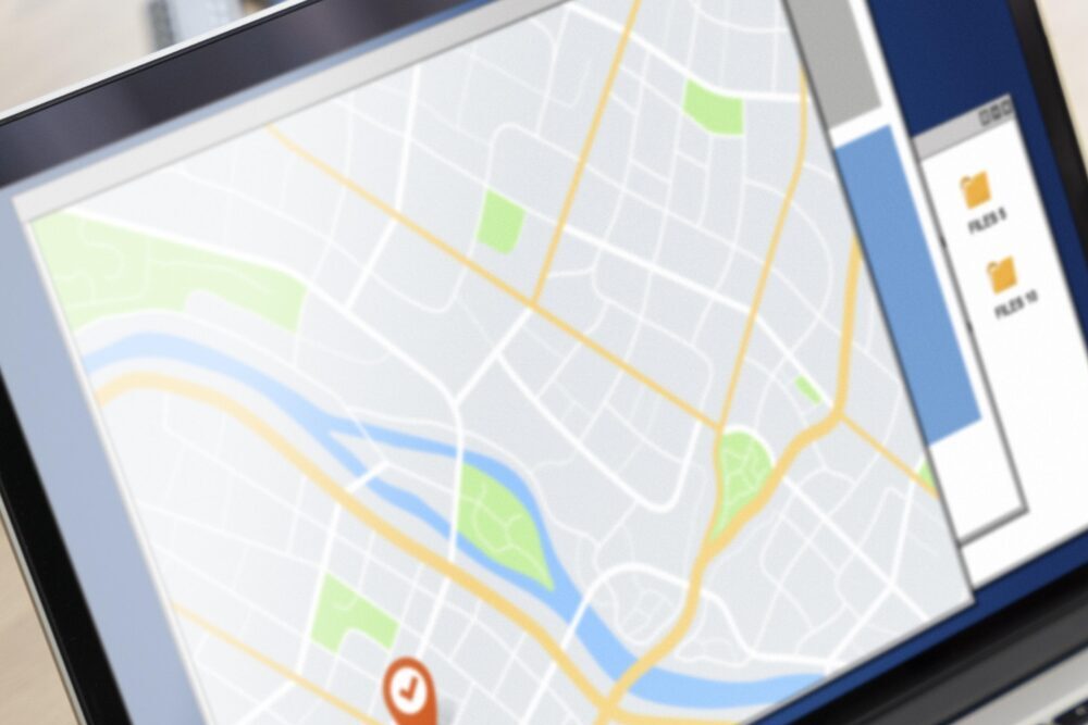
3D model integration in
CAD/GIS
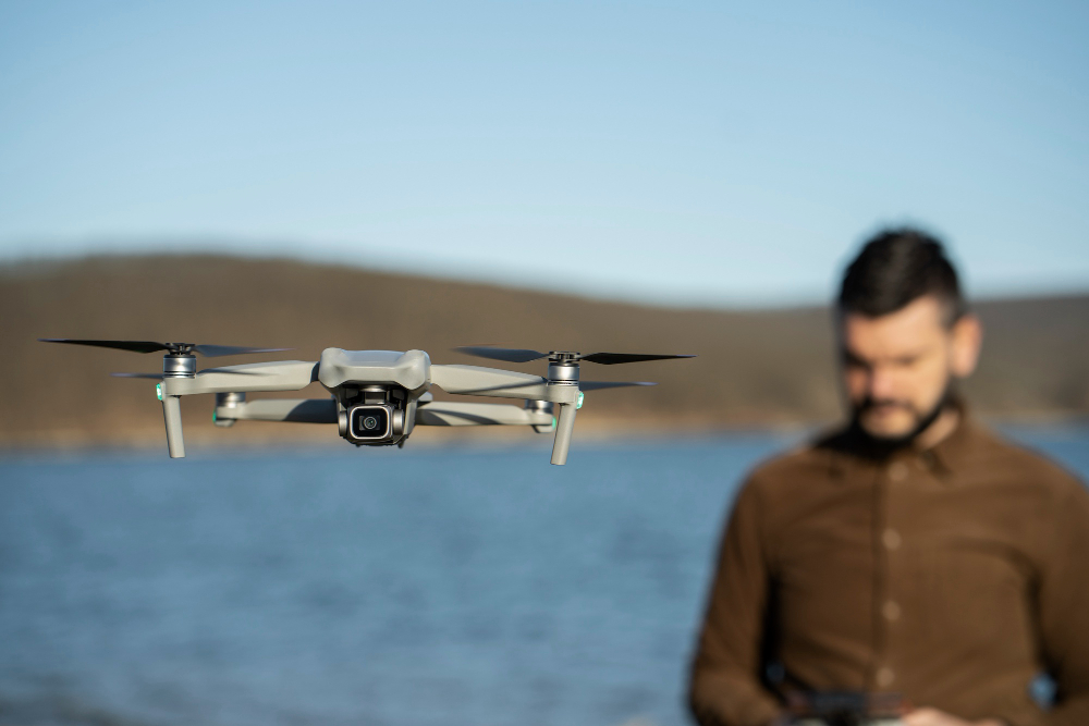
RTK-enabled
drones

Cloud-based point cloud processing