Contour & Volumetric Survey

2149184921

Measuring the Land, Mapping Possibilities

Whether for development, excavation, or design, our surveys offer reliable contours and volume estimations tailored for your land project.

Survey Services

Visualize and Quantify with Confidence

2149392704

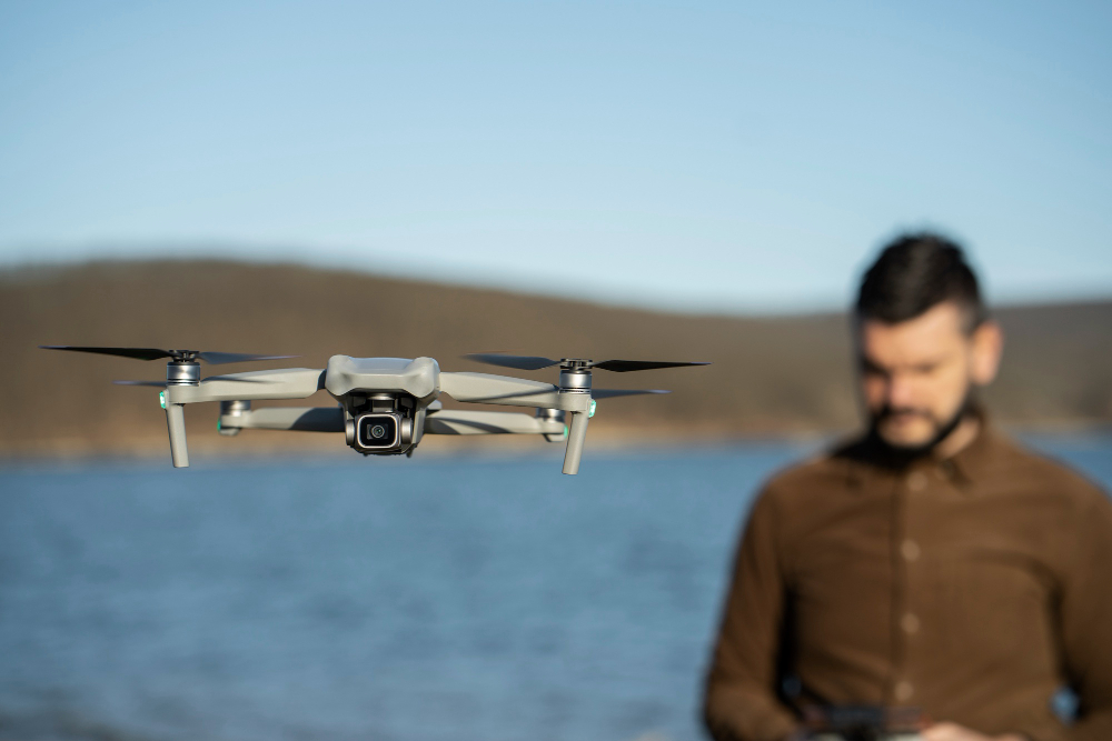
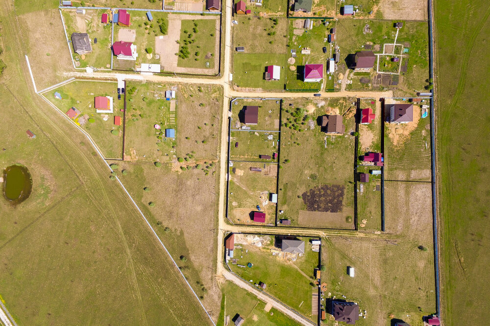
Drone-based contour mapping

477

Cut/fill volume calculations

2147831919

Topography-based excavation design

steptodown.com857387

Grading and leveling plans

Technology We Use

Detailed Elevation & Volume Modeling

28090

LiDAR-supported
DEMs

51660

AutoCAD Civil 3D for volume sections

2149392704

Drone imagery +
photogrammetry

104224

Point cloud volume
analytics

Ideal For

Versatile Applications

⚒️

Crusher sites

🏭

Industrial grading

🛣️

Road alignment

🌱

Agriculture and landscaping