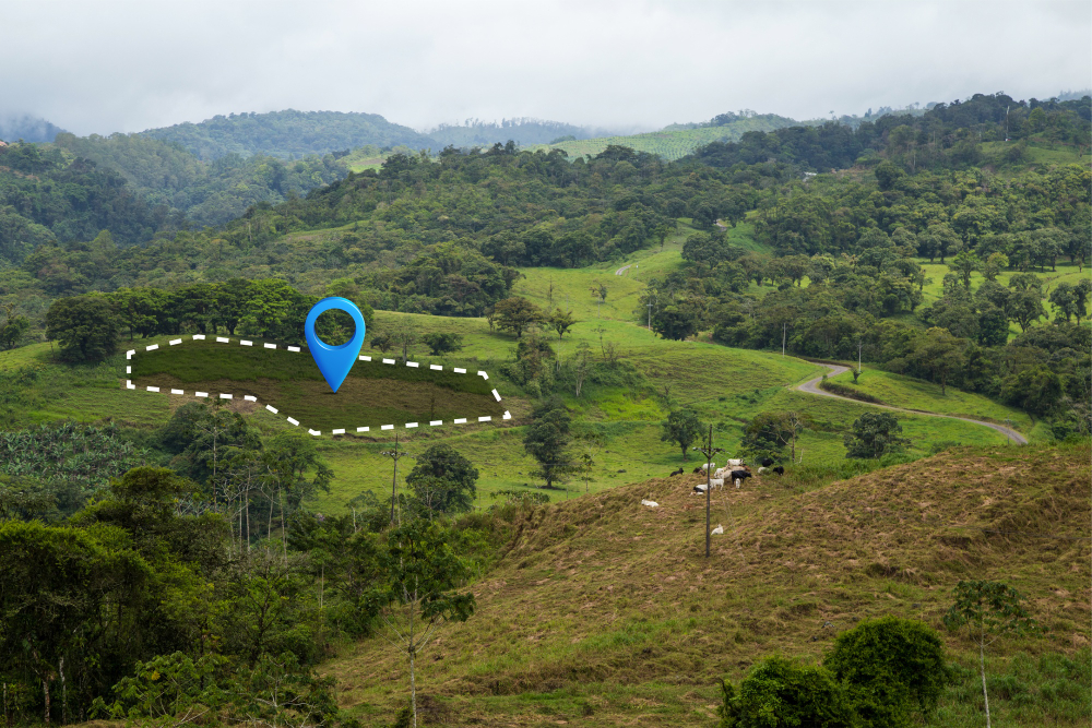
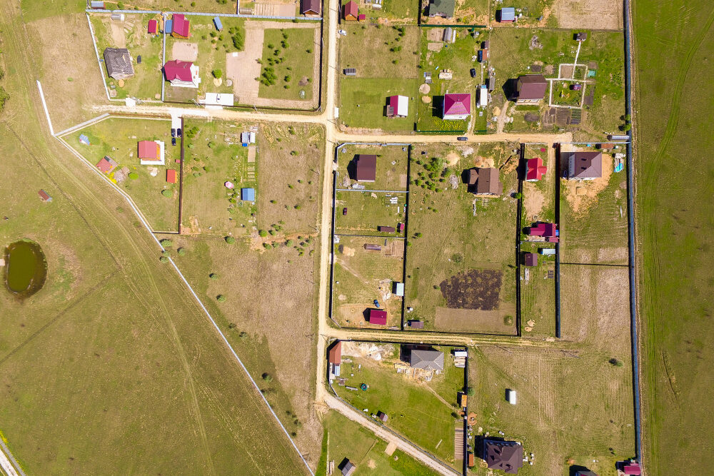
GIS & Allied Works Geospatial Intelligence for Every Project Malee House delivers GIS-integrated solutions—combining survey data with smart mapping and analytics for better decision-making. Allied Services From Map to Model Geo-referencing of village and cadastral maps KML, SHP, and KMZ file creation GIS-based command area planning Custom geospatial visualization and overlays Tools & Platforms Your Data, Digitized and Actionable ArcGIS & Global Mapper AutoCAD compatibility Field-to-GIS integration LiDAR Cloud & Google Earth Use Cases Where GIS Meets Ground Reality 🏙️ Urban planning 🗺️ Agricultural mapping 📊 Infrastructure analytics 🏛️ Public asset monitoring