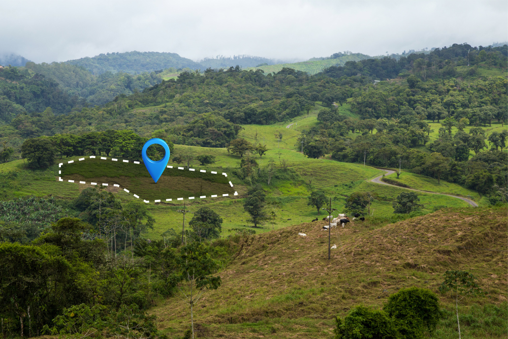
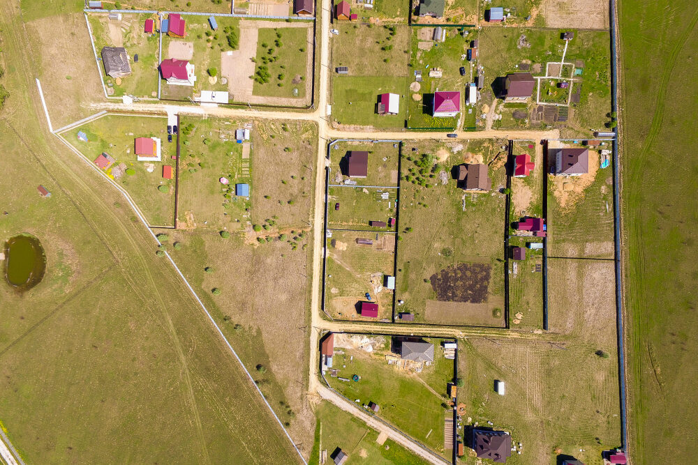
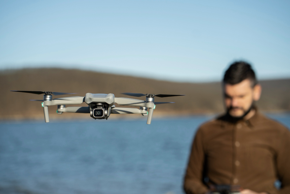
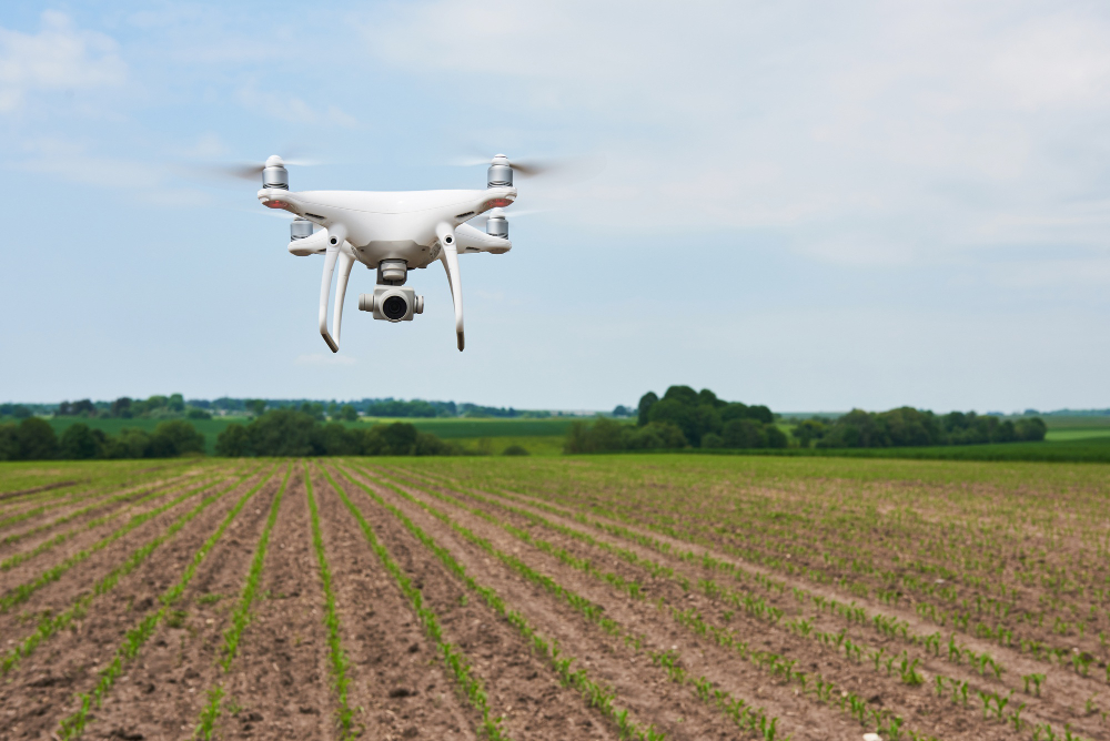
LiDAR & Drone Survey Sky-High Accuracy, Ground-Level Precision Malee House combines RTK drones and LiDAR for fast, highly detailed 3D mapping, even over complex or inaccessible terrains. Survey Capabilities Mapping in 3D, Faster and Smarter Digital terrain models (DTM/DEM) High-resolution orthophotos Forest and canopy penetration Urban and rural development planning Technology Precision in Every Pixel Aerial and mobile LiDAR 3D model integration in CAD/GIS RTK-enabled drones Cloud-based point cloud processing BenefitsIdeal for Modern Infrastructure Needs Faster than ground surveysWorks in dense vegetationIdeal for smart cities, rail, roads, and pipelines